My college years in Ann Arbor gave me the pessimistic impression that the midwest is a cold, flat, barren wasteland. I recently moved back to Ann Arbor, and I decided I wouldn’t let these negative thoughts control my lifestyle.
“It’s too cold to be outside.”
“It’s just cornfields and highways out there–why bother exploring?”
Determined to live DESPITE the cold, DESPITE the impression, I set out this January to prove my impression wrong. Cuyahoga Valley National Park–being the closest national park–seemed like a natural place to start. So, I packed the car with food, camping gear, and the now-more-than-ever-important extra blankets, and I set off.
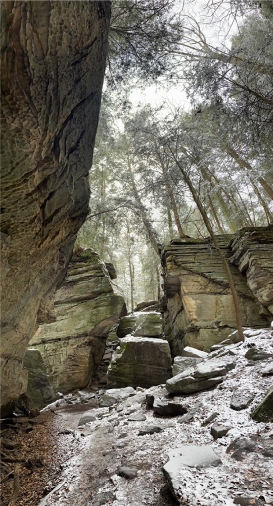
The Ledges Trail
Parking:
41.2236021, -81.5131285
Campsite:
None
Hike Length:
2.2 miles
Difficulty:
Moderate. You’ll have to navigate over uneven roots and large rocks
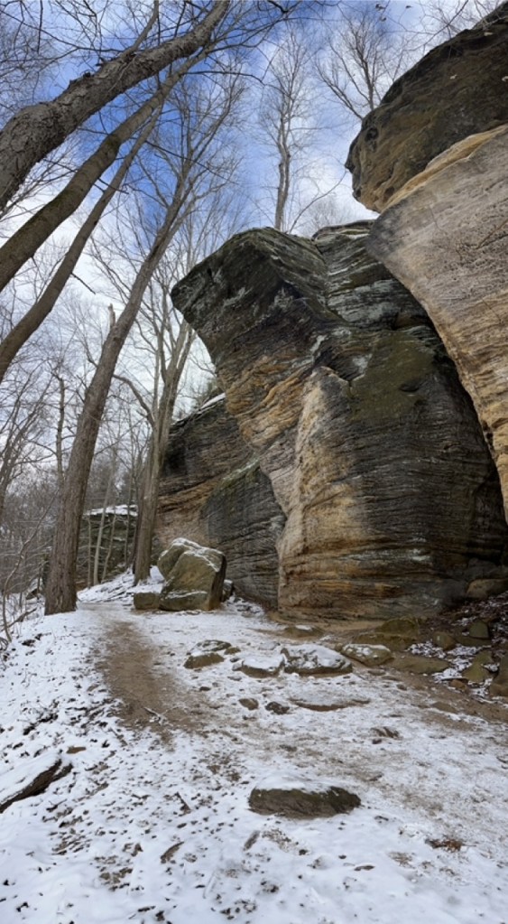
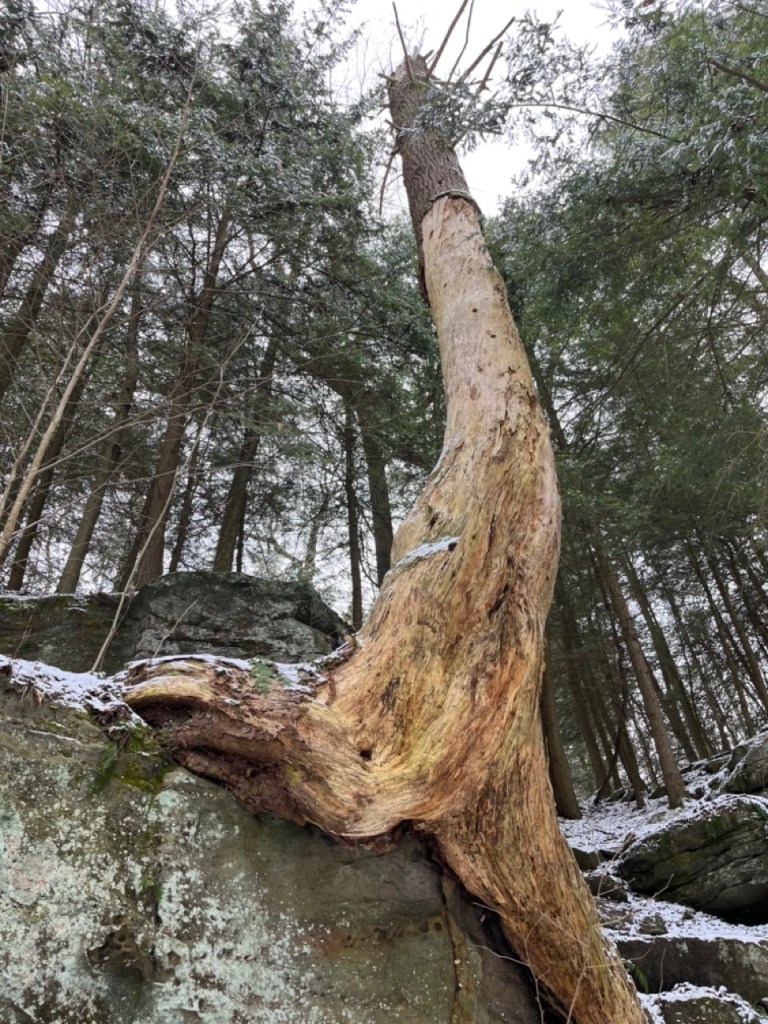
The Ledges Trail is a hike around the base of a plateau where you will see giant sandstone rock formations, shallow caves, and a few decent overlooks. There is one marked cave called the Ice Box Cave that you can peer into, but it’s closed for bat protection.
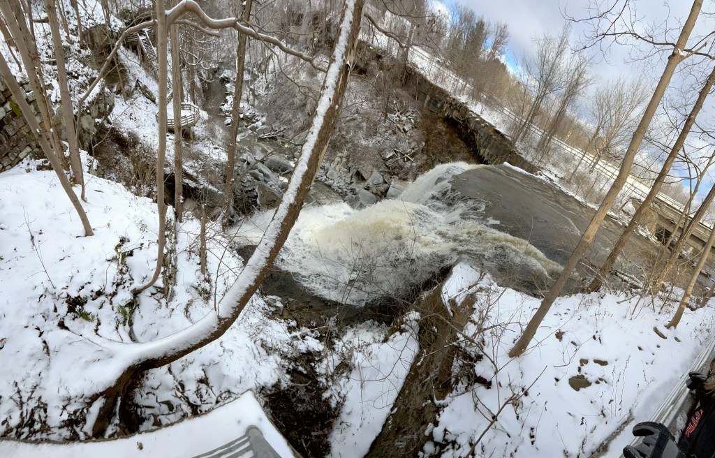
Brandywine Falls
Parking:
41.276361, -81.539528
Campsite:
None
Hike Length:
.1 miles
Difficulty:
Easy. A few stairs, but you’re on manmade construction the whole time.
This is the highlight of the park for most people. It’s impressive, very accessible, and very crowded.
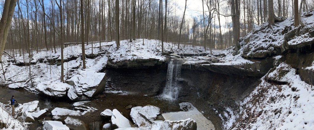
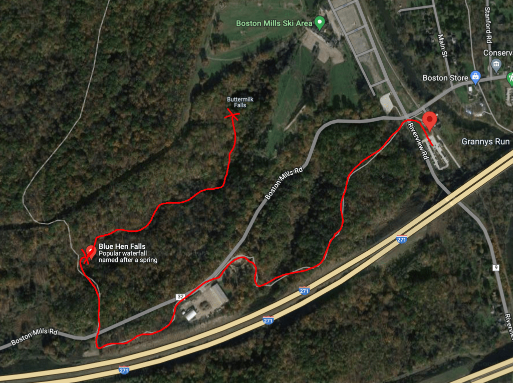
The Buckeye Trail / Blue Hen Falls
Parking:
41.261968, -81.560263
Campsite:
None
Hike Length:
1.5 miles from parking to falls
Difficulty:
Easy. Some uphill and downhill sections but steady terrain the whole time
To get to Blue Hen Falls, park at the Boston Mill Visitor Center and hike west on the Buckeye Trail for ~1.5 miles. I like Blue Hen Falls because of how much the shelf juts out before allowing the water to cascade. I probably would’ve tried to climb beneath if it were warmer. Once you reach Blue Hen Falls, you can continue down the creek on an unmarked trail for about a half a mile to reach Buttermilk Falls, which is another impressive waterfall.
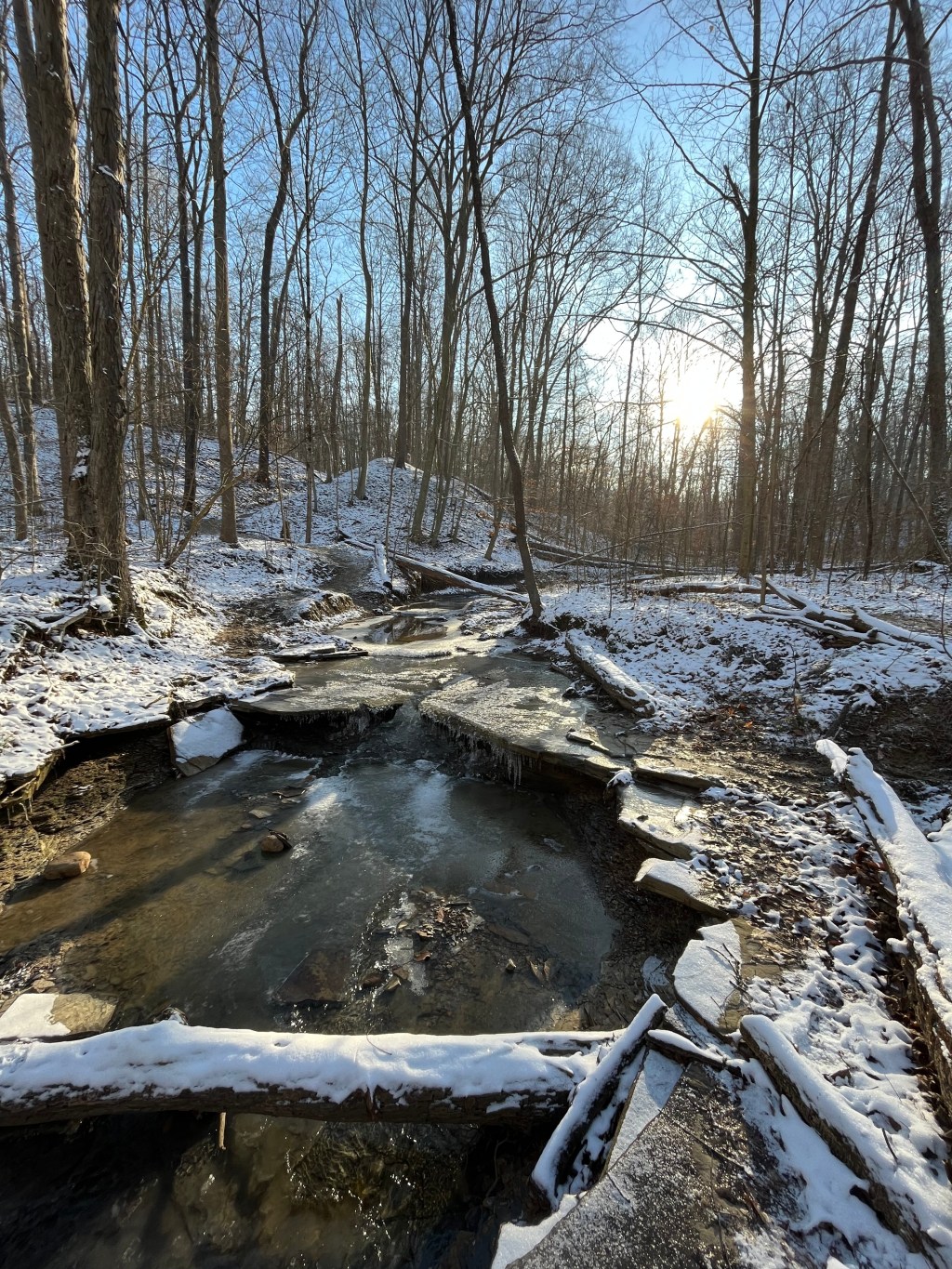
Wetmore Trail
Parking:
41.212381, -81.545539
Campsite:
None
Hike Length:
4.5 miles
Difficulty:
Moderate. You’ll have to cross 5 different 3-to-6 feet wide streams.
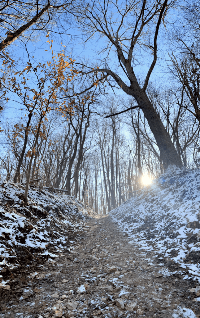
This was probably my favorite hike. The length was perfect, the constant sound of trickling water was peaceful, and stretches that were usually muddy were frozen under the early morning sun.

The icy stream crossings were decently challenging, and gave me the priceless feeling of being like Calvin.

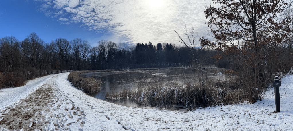
Plateau Trail
Parking:
41.219458, -81.576585
Campsite:
None
Hike Length:
4.9 miles
Difficulty:
Easy. It’s a bit long, but the terrain is mostly even.
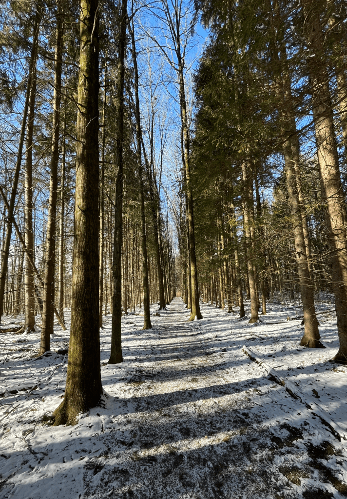
This was probably the least exciting trail that I hiked. It has a couple of man-made ponds for fishing, and all of the streams have solid bridges over them. Some sections of the trail have short trees that form a thick overhead canopy, almost like a natural tunnel. Those are probably the best stretches for birdwatching.