This is a collection of photos and notes from my trip to Yosemite in June 2022. We lived out of a car and spent a few nights camping in the backcountry.
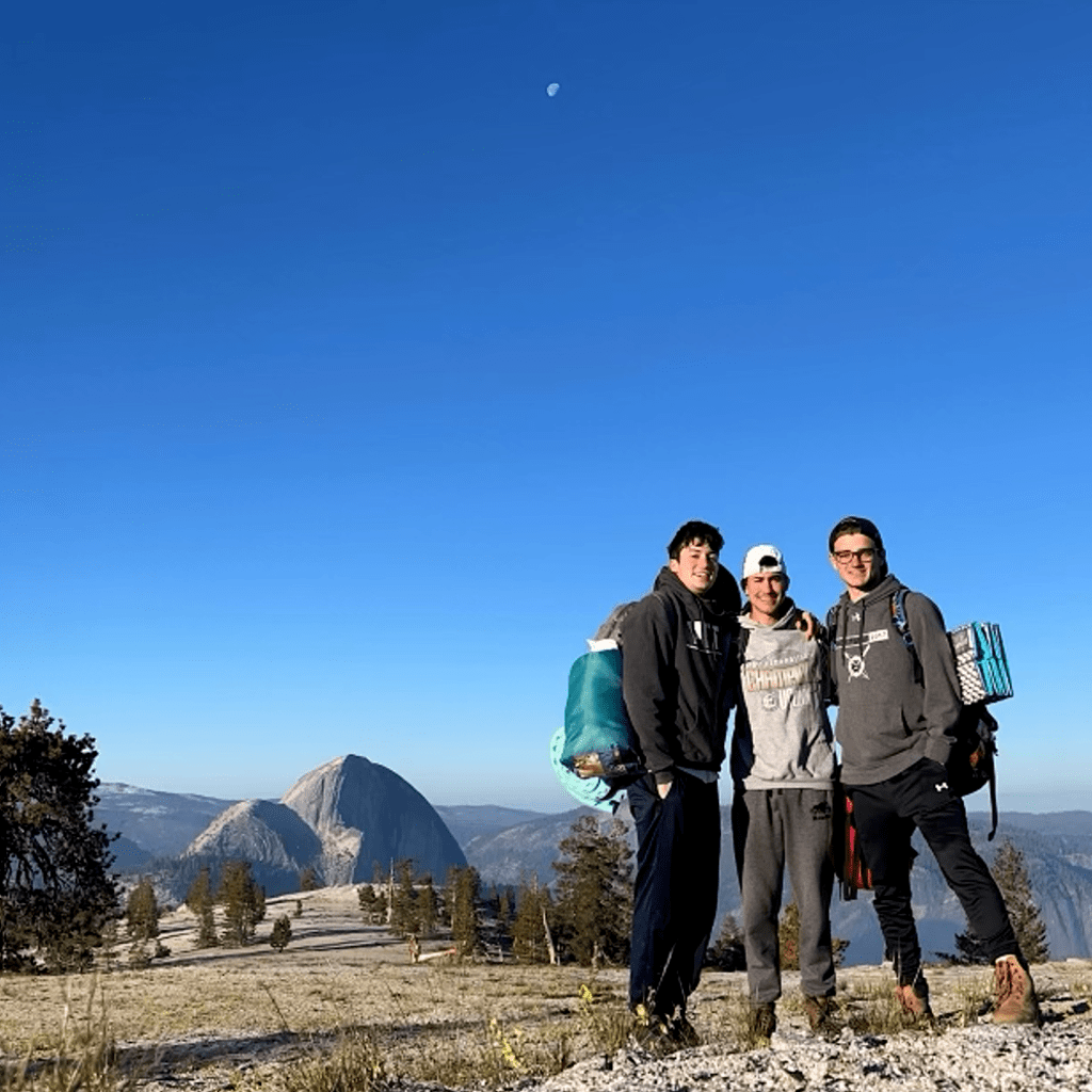
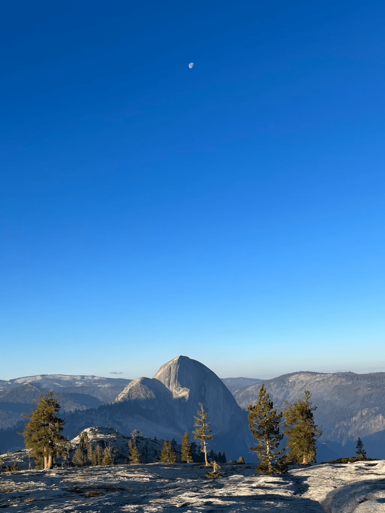
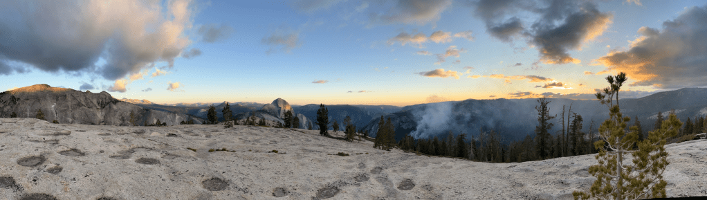
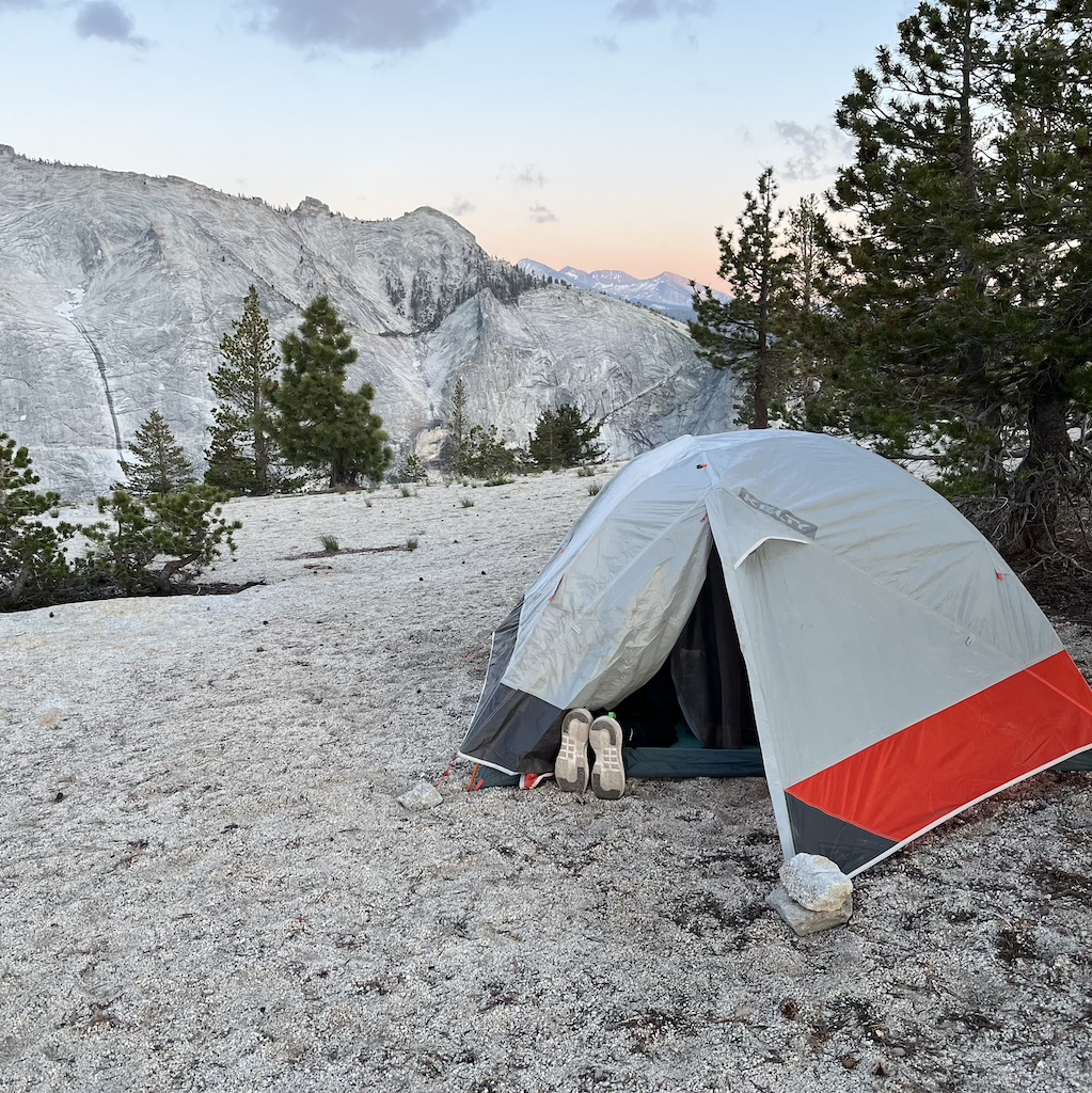
Mount Watkins
Parking:
37.811647, -119.509003
Trailhead:
37.810308, -119.510090
One mile west of Olmsted Point, past a quarry.
Campsite:
37.782650, -119.517684
Mount Watkins
Hike Length:
3 miles
Difficulty:
Moderate. Can get steep, but no cliffs or rock climbing.
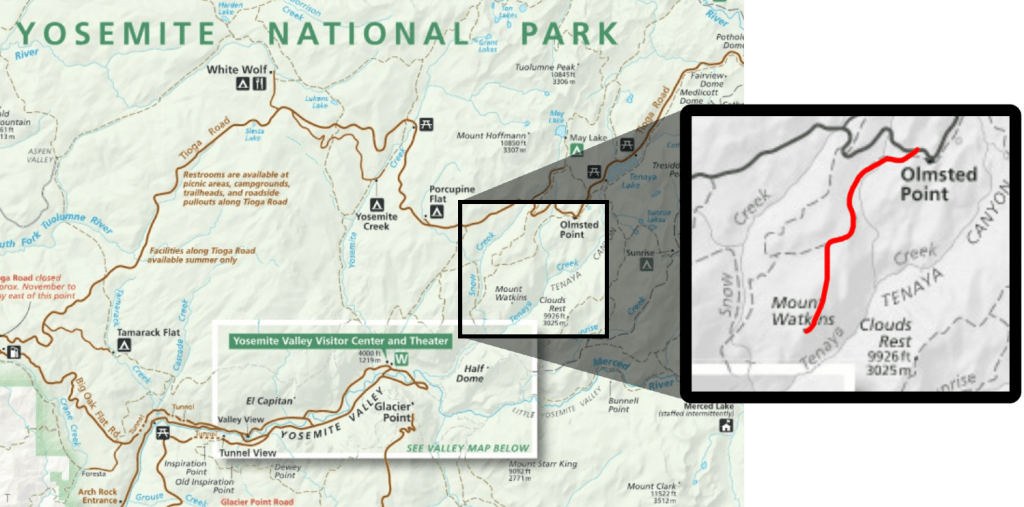
The first part of the trail is marked on the official map, but ~1.5 miles in you’ll come to a fork where a less-traveled trail breaks off and goes downhill. Take the left, you’ll go downhill for about a mile, then start to climb up Mount Watkins.
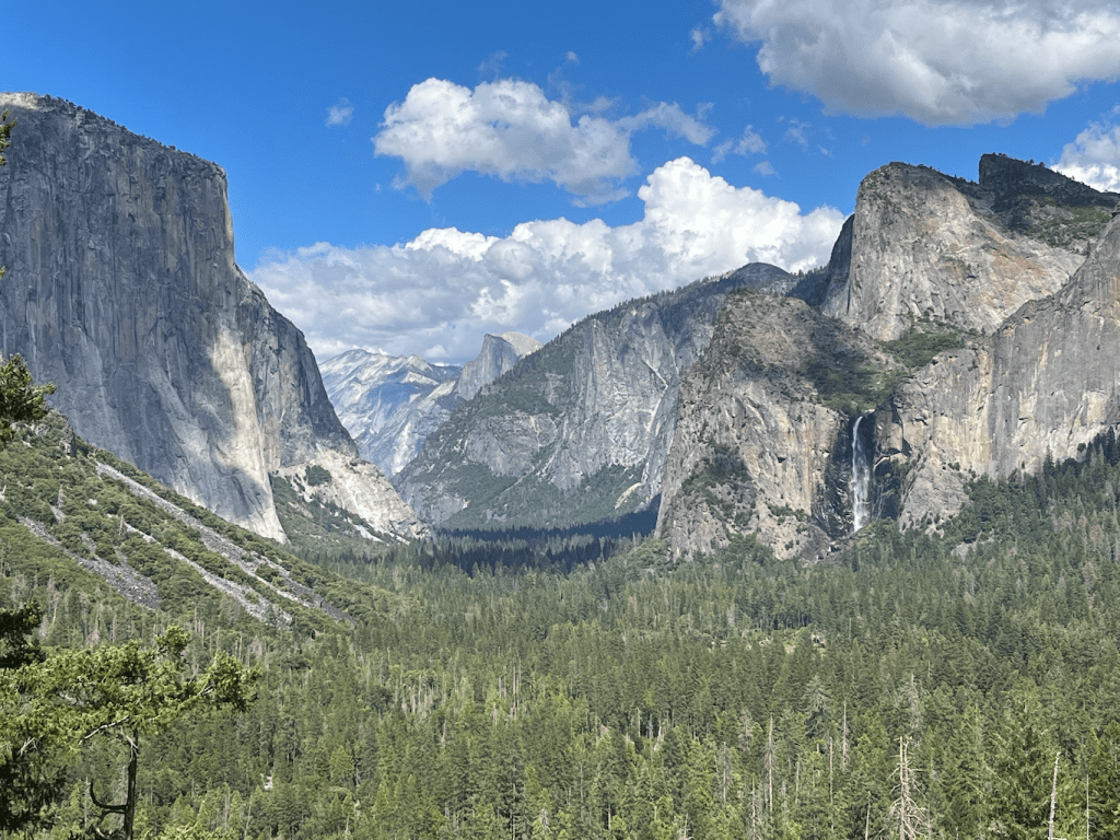
When you get to the top of Mount Watkins you’ll be able to see Half Dome in the distance. The ground is very rocky with not a lot of soil, so staking your tent may be challenging.


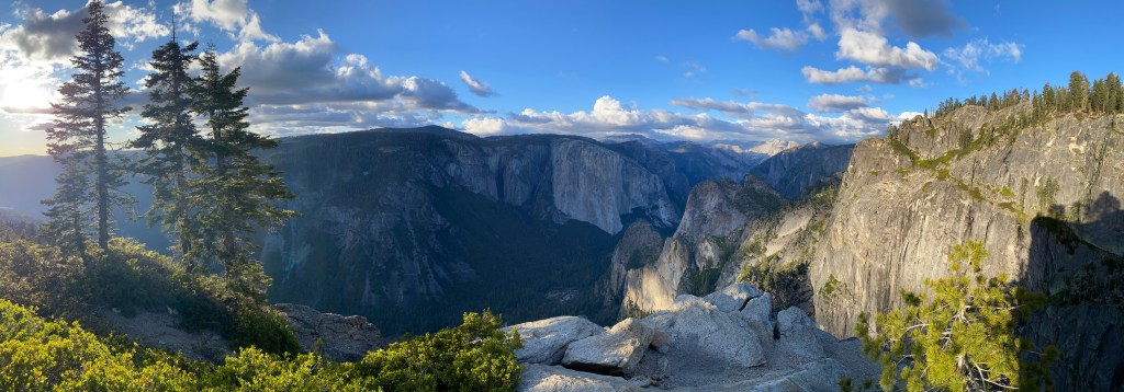
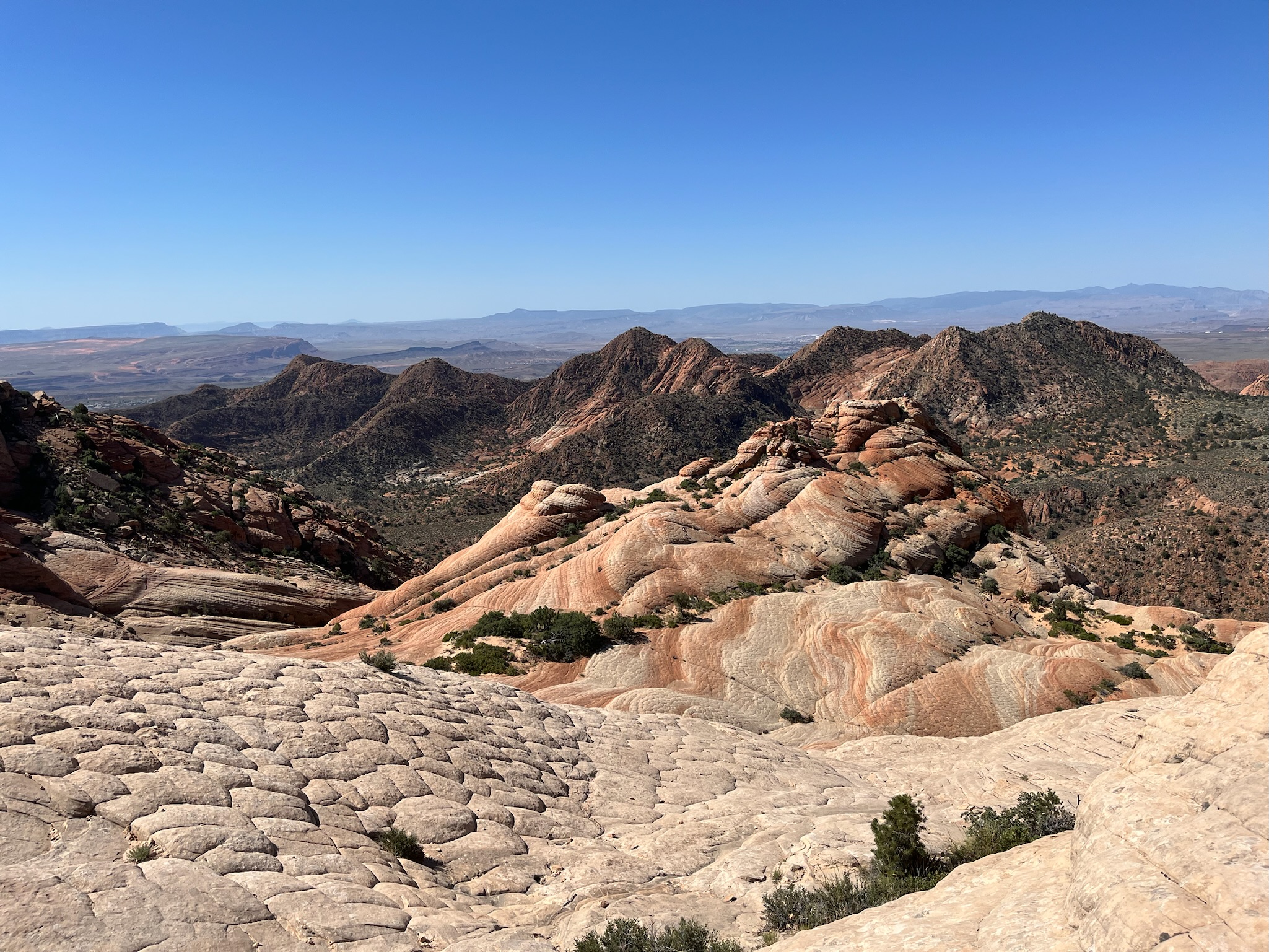
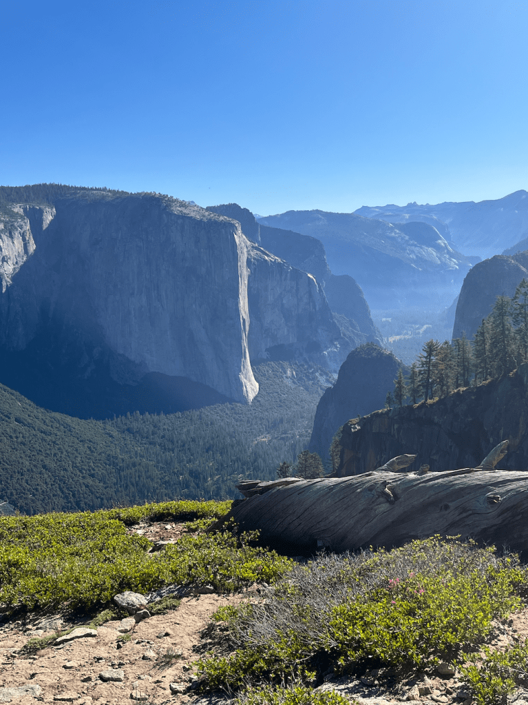
Stanford Point
Parking/Trailhead:
37.715109, -119.676726
Tunnel View scenic point.
Campsite:
37.706052, -119.666303
Stanford Point
Hike Length:
~4 miles
Difficulty:
Difficult. The entire hike is uphill.
The Pohono Trail is a 13 mile trek along the south rim of Yosemite Valley. It connects Tunnel View to Glacier Point, and has several notable peaks along its route.
We started at the Tunnel View entrance and camped on Stanford Point.
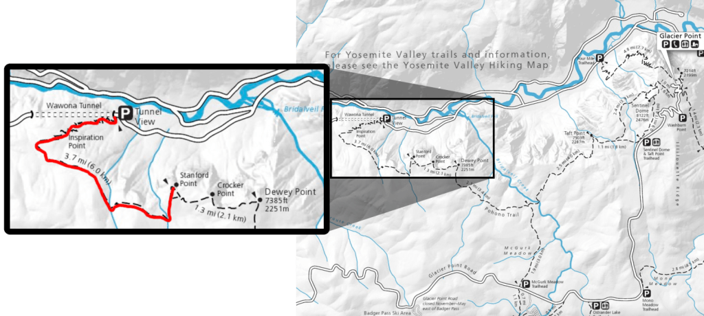
Stanford Point has amazing views of Yosemite Valley, but getting to it is no joke. The 4 mile hike is entirely uphill with over 2000 feet of elevation gain. The first 1.5 miles are practically just stairs, but it gets easier after Inspiration Point. I think it was named “Inspiration Point” because it inspires you to keep hiking…seriously, there’s nothing cool about it.
Stanford Point is a great spot to spend the night, but if you have energy left, Crocker Point has better views of Bridalveil Falls.